The Peak District is an absolutely beautiful area of England, which we’ve visited a few times over the years. The walking there is great, so there’s always a new trail to follow and adventure to be had. On this visit, we went to the very south of the National Park and followed one of the most famous walks in the area, to Thor’s Cave and the Manifold Valley.
Hike Information
Location: We parked in Wetton – there is a free car park there but arrive early as it gets full quickly. If not, there is another car park (a field) just up the road, costing £3 a day. There is no-one monitoring though, just an honesty box sellotaped to the gate so please take cash. When we left there were about 60 cars in the field, but only about £5 in the box!
Hike distance and time: The hike distance is around 6 miles, and took us 3 hours to complete (with lots of photo stops!)
Terrain: The walk is a mix of downhill, steep inclines, and to enter the cave you will need to be comfortable scrambling and with an element of climbing.
The route
The route that we followed can be found on the website HERE.
A. Wetton Car Park to Thor’s Cave
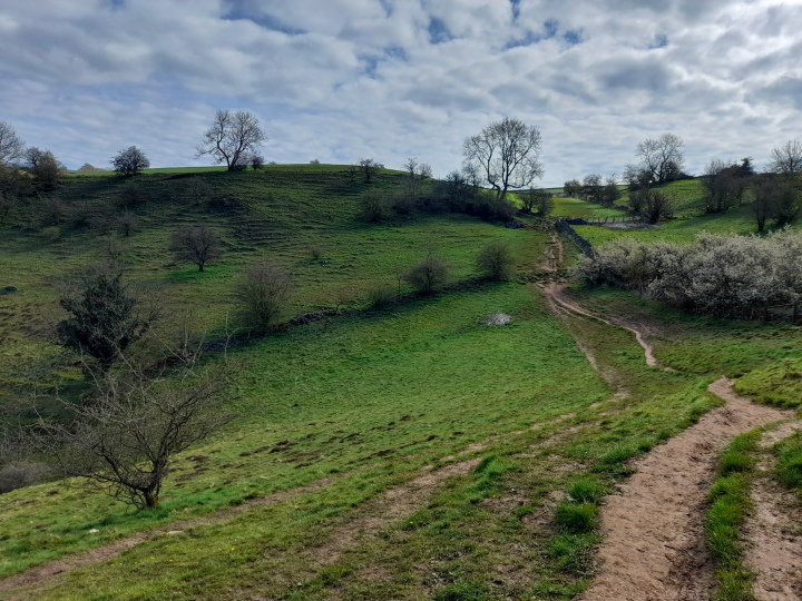
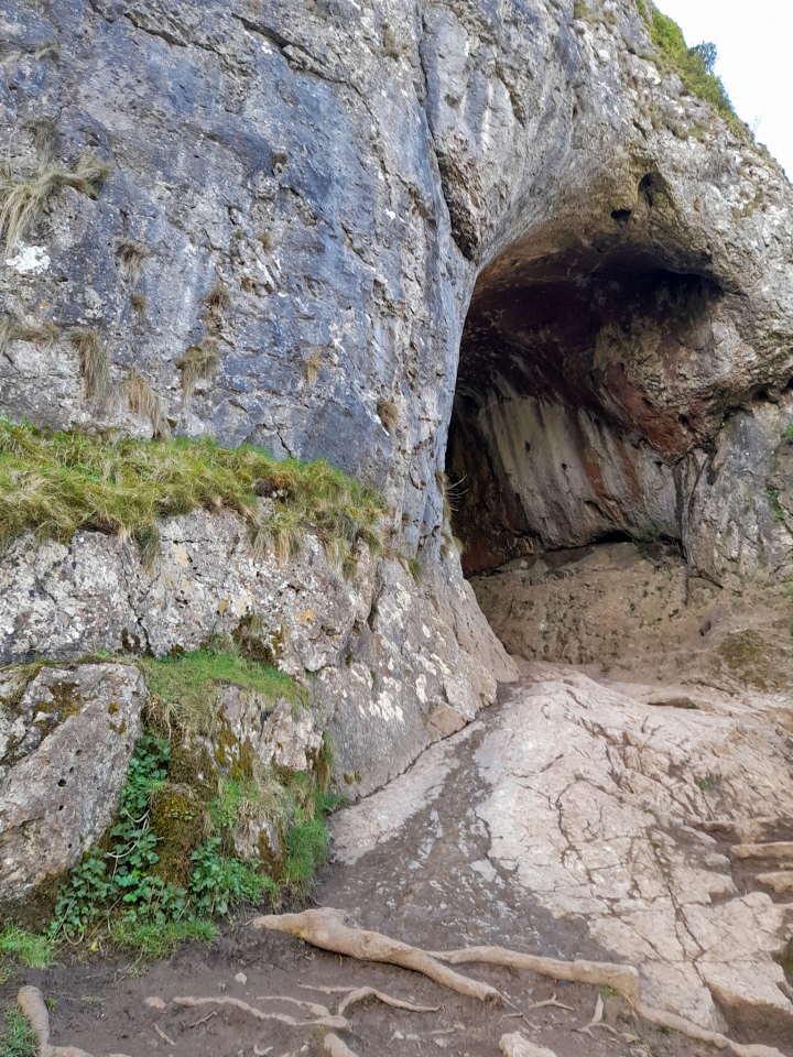
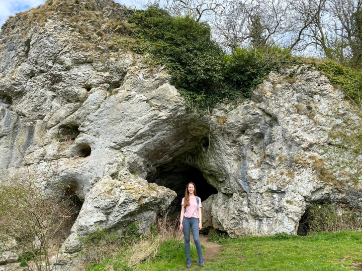
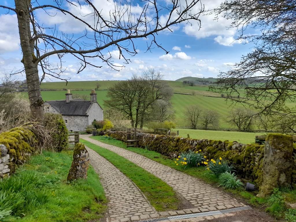
From Wetton, Thor’s cave is well signposted. Follow the road running parallel to the field car park, following the arrows pointing to Thor’s cave. This will then leave the roads and enter on to a track with some beautiful views out over the hills. Follow the track round and up, until you can see the cave in front of you. You can climb on top of the cave, but you then need to take the path sloping downwards to get to the entrance of the cave at the front.

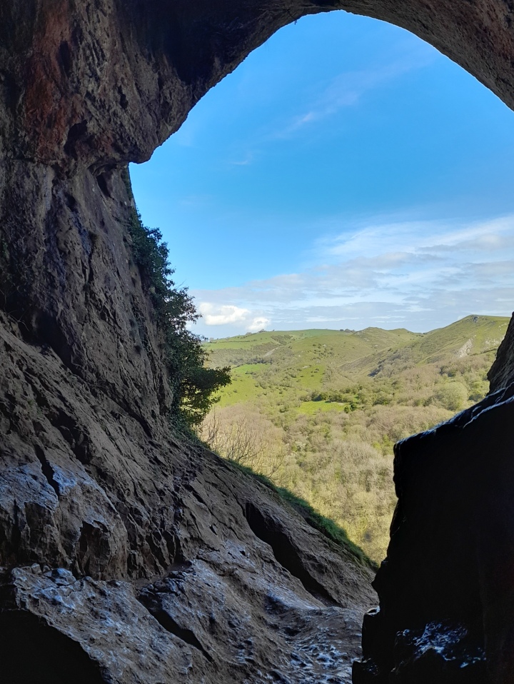
In the rain, the track to the cave can be very muddy and you need to be in hiking boots. To get in to the cave requires you to pull yourself up on to rocks and scramble up slippy stones. I saw 3 people fall over and hurt themselves, so please be careful and don’t underestimate it. This cave has existed for centuries, and it’s estimated to have contained the burial sites of at least seven people. Digs have also found evidence of habitation since the Palaeolithic period (about 50,000 years ago, including bear remains!!!!)
B. Thor’s Cave to Wetton Mill
Follow the steps from the entrance to the cave downwards. After a few hundred metres the path splits, take the left-hand path which is a steeper descent but takes you down to the river bed through the trees. Cross the bridge and turn right along the wide footpath.
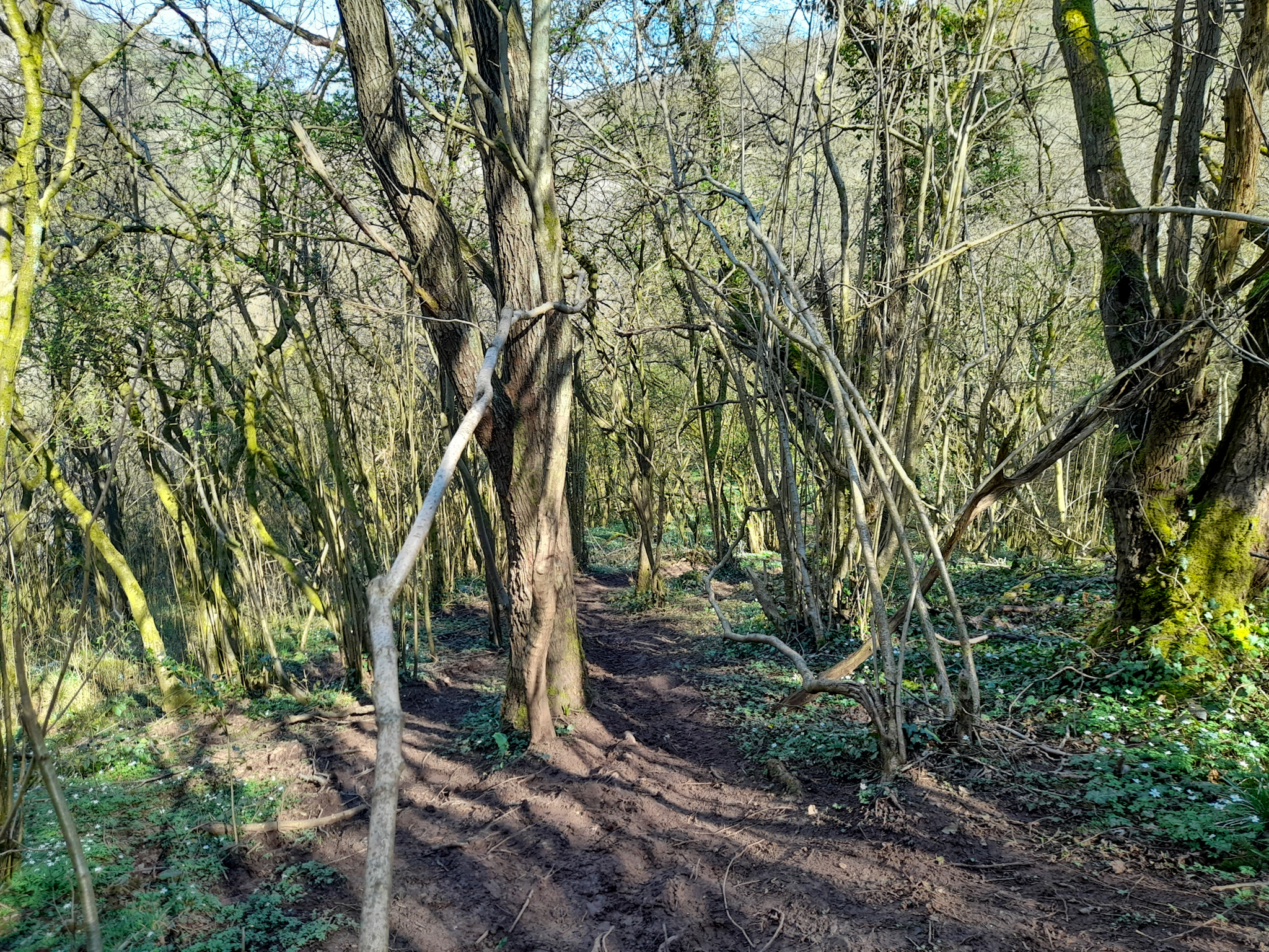
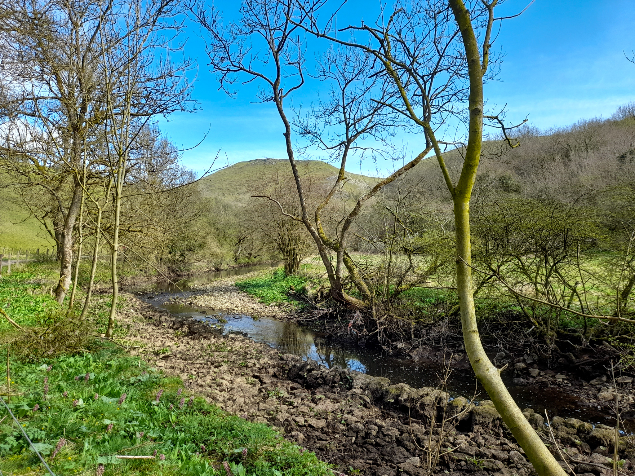
Follow the path as it runs parallel to the river until a second bridge. Cross over and turn right through a wooden gate into the valley (do not continue along the road you have emerged on to), signposted Wetton Hills. This will lead in to an open area, home to lots of sheep!
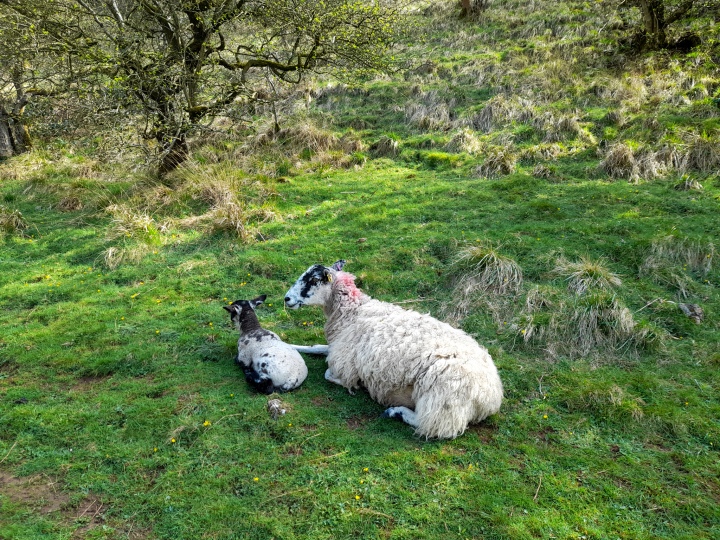
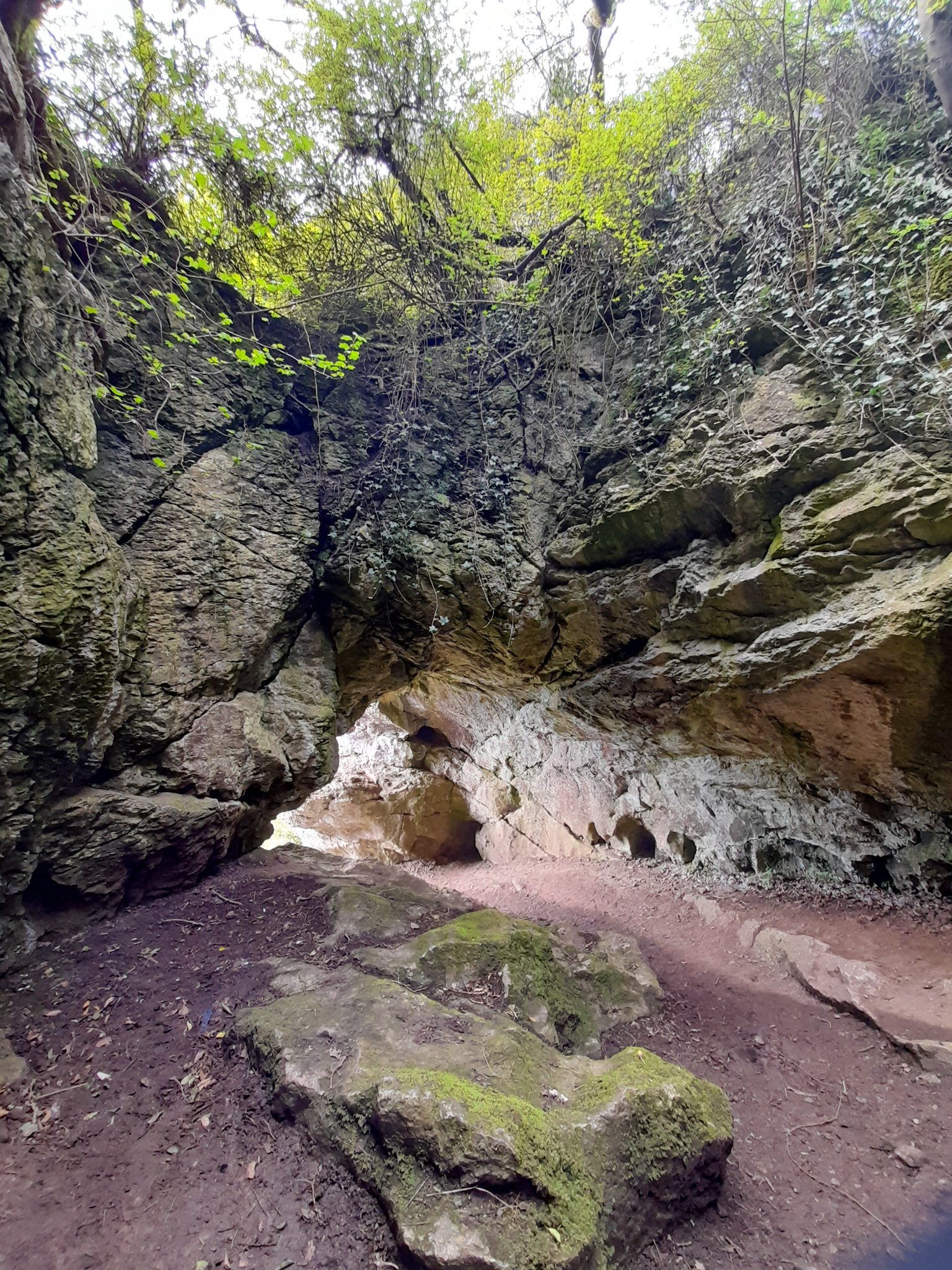
Walk for 500 metres, as the path bends to the right look for a Public Bridleway signpost which is almost hidden in the trees, then turn left and head up the path on an ascent. Go through the gate, and then walk through the open space until you reach another sign post which you can follow right to a second cave, situated above Wetton Mill.

C. Wetton Mill to Wetton Hill
After enjoying the caves, head back down towards Wetton Mill and stop for a break if you need a drink or an icecream. Then exit on the road and turn right, past a campsite on your left, until you arrive at Dale Farm. Walk through the farm yard area with the house on your right, and then through a gate in to a field.

Walk through the open field, until you come to a stone path which ascends upwards. Follow the path upwards until you reach a wooden stile, then turn right to go through a stone stile. Bear left and then continue down the path with the hedges on the right.
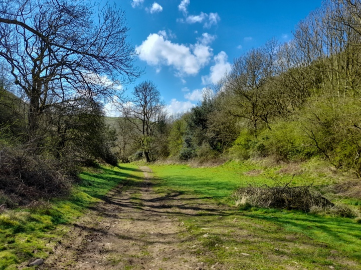
Go through a gate, keep walking to a second gate then turn right onto the road for about 500 metres. The road bends sharply round to the left then arrives at a house. This is the only point where we got lost against the instructions. At this house, do not walk past it – turn sharp right at the top of the drive following the footpath signs (when we visited there was a jam box there, pictured below).

Follow this footpath to a gate which you walk through in to a wide open field. Walk directly across the middle of the field to the gate at the boundary, cross over a stream and you will find yourself in the field below Wetton Hill.
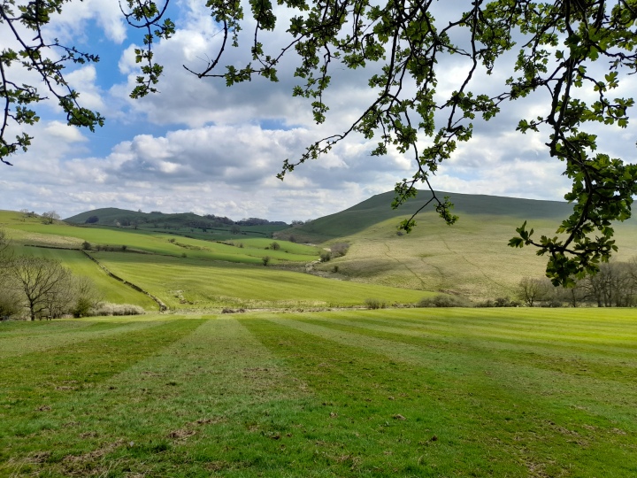


D. Wetton Hill to Wetton
Unfortunately it’s time to walk uphill again. Follow the path roughly through the middle of the hill, seeing a wall on your right hand side. Head towards the wall, bearing slightly right until you reach a wooden stile. Go over the wooden stile and head south across the field, away from the boundary wall towards a second wooden stile across the field.
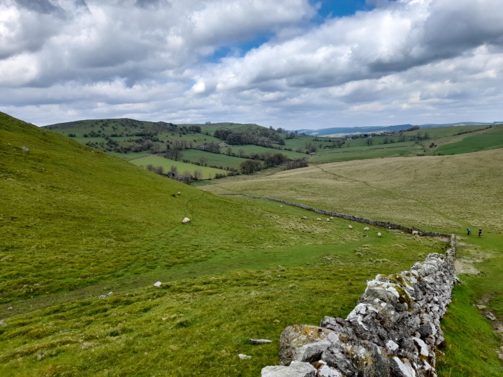
Then follow this field straight across (no need to climb any further), until you reach a wooden gate out on to the road. Walk straight down the road, past the Royal Oak pub and then turn right and walk down the road back to the car park. Although I definitely recommend stopping for a drink – you deserve it after all that walking!
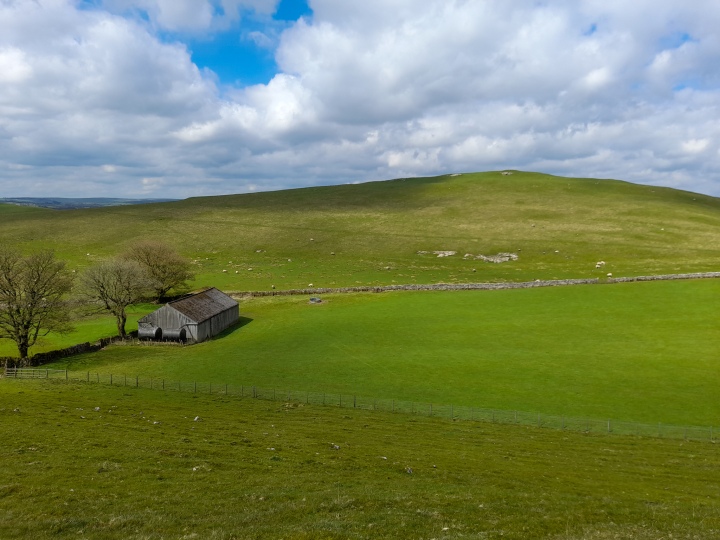

What do you think of this lovely walk? We really enjoyed it and it was a perfect way to spend a day in the Peak District, getting a good mix of views, hills, woodland, villages and caves. I hope you enjoyed following along!

Leave a comment