The Lake District, in the north east of England, is an incredibly special place. I think it’s the most beautiful part of the country, and is full of amazing views and walks which will leave you in awe. One such walk that left its mark on me was hiking up Loughrigg Fell, which we did while staying in the wonderful town of Windermere.
Important Hike Information
Location: You can do the Loughrigg Fell hike from either Ambleside, Grasmere or Rydal, all in the south of the Lake District, all a short drive from Windermere.
Hike distance and time: The full round loop is 11km long and will take around 3-4 hours depending on fitness, so makes for the perfect half day trip.
Terrain: The terrain starts on a slope so you have to be comfortable on steep ascents. On the path up there are a few points of scrambling, where you have to use your hands to get up the rocks, but nothing too scary. The descent is similar, having to climb down some quite steep rocks. Overall though the climb is manageable and the ascent a reasonable gradient so anyone of moderate fitness should be able to complete it.
Parking: You can ascend from either Grasmere or Ambleside and descend the other side. I personally recommend going up from Ambleside so utilise one of the car parks there – Rydal Road or Lake Road both work to start the walk from.
Alternatives: If you don’t want any scrambling, another lovely walk from Ambleside could be Stockghyll Force waterfall and Blue Hill Wood or Lily Tarn if you still want some beautiful high views. If a moderate walk isn’t challenging enough for you, then you could try Wansfell Pike or go for the super difficult 17km route The Fairfield Horseshoe.
The Hike
We followed the route guidance HERE for this walk.
1. Start in Ambleside
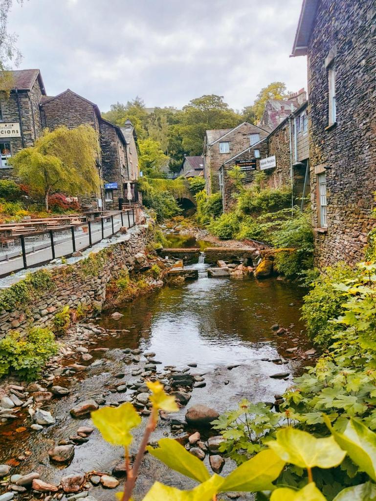
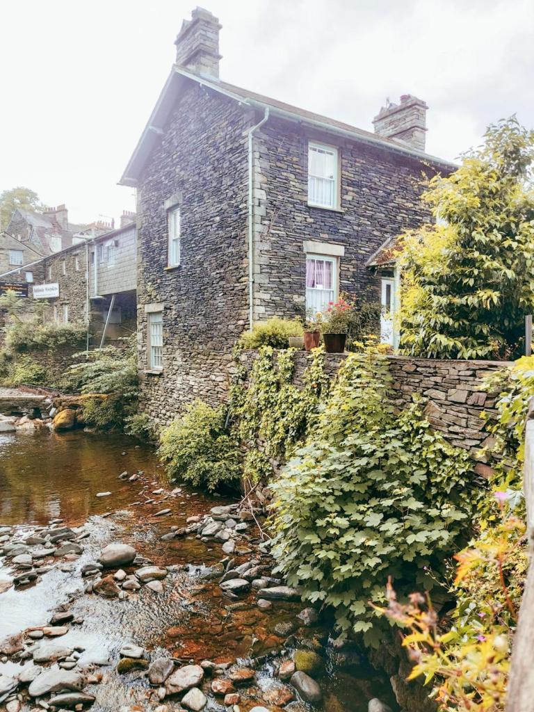
After parking up, take a little stroll around Ambleside. There are some lovely river views over the bridge, and some nice places for tea, cake or lunch depending on the time you’re arriving. Then head to St Mary’s Parish church and in to Rothay Park, then over the small footbridge spanning the river and then left over the stone bridge.
2. The First Climb
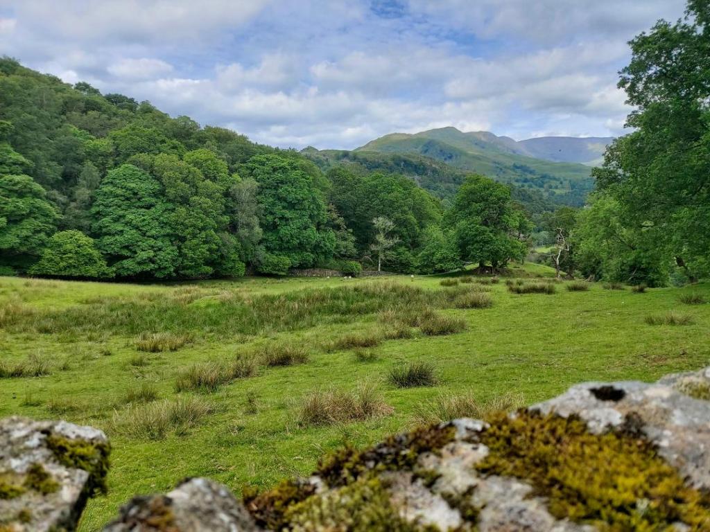
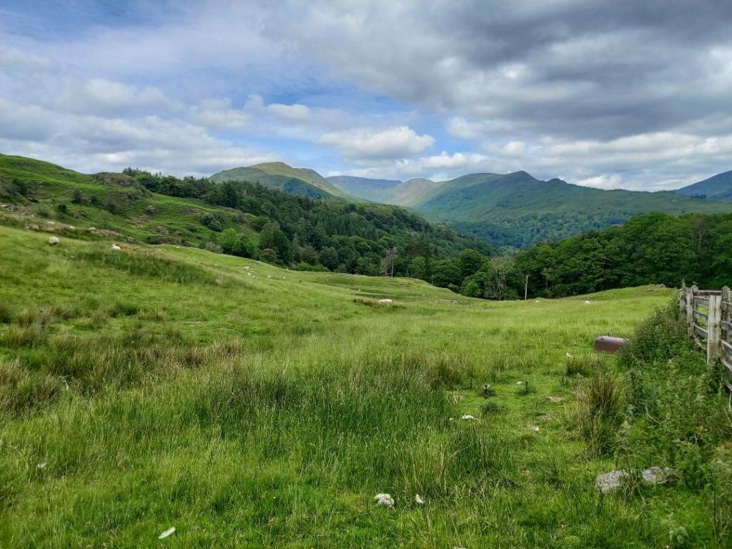
After crossing the bridge, turn right along Underloughrigg Road to cross the cattle grid, and then turn left on the tarmac lane that heads steeply up the hill. This is actually the worst part of the walk in terms of incline, and there are some lovely views back across the fields behind you as you climb.
3. Hitting the False Summits
Evenutally the tarmac path will arrive at a gate, and turn in to a stone path which wiggles along with a wall to its right. Follow this clear path for a while, as it rounds away from the wall, until you reach some stepping stones across a little stream of water, and the head right. At this point there is no ‘wrong’ trail as there are dozens of zig zagging paths up the fells. For anyone interested a fell is a high place that’s barren – basically big, open hills.
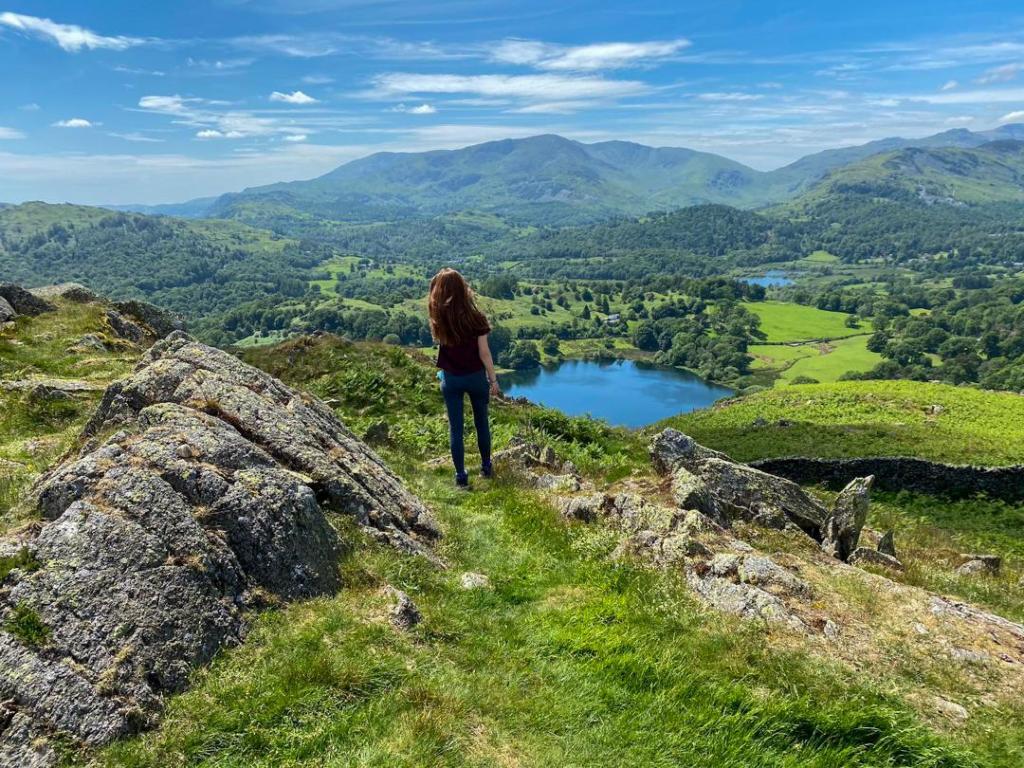
It can be a bit disheartening once you’re in the zig zag, as you can keep thinking you’re nearly at the top, but it’s just a false summit. The rule is just – if you can keep going up, take the path that goes up. The views on the way are breathtaking, though pick your path as some do require a fair bit of scrambling.
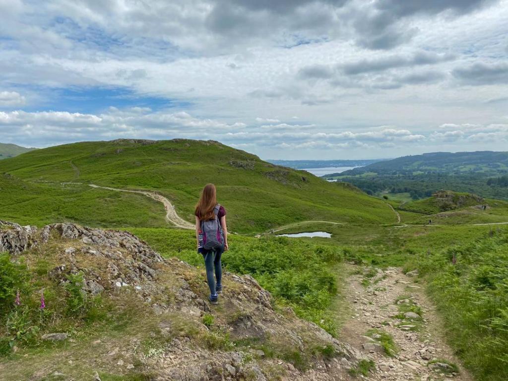
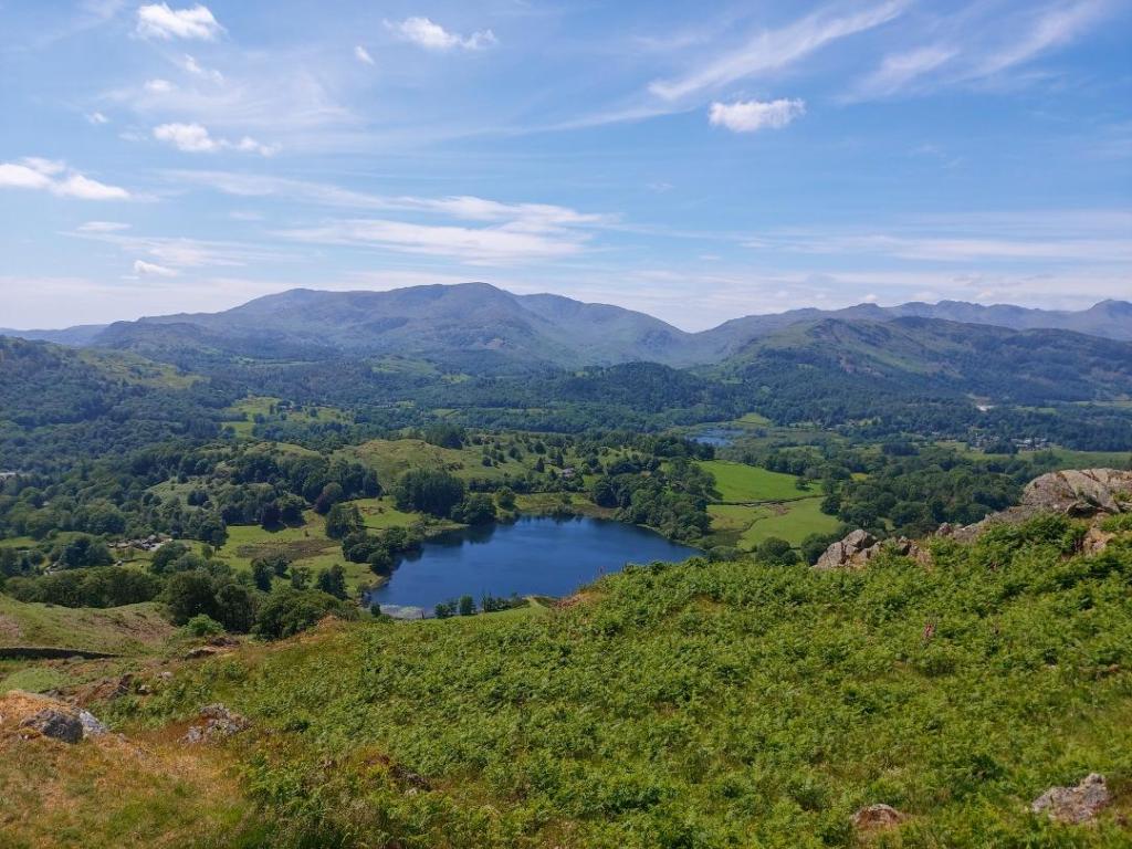
4. Reaching the Actual Summit
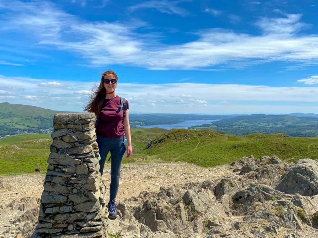
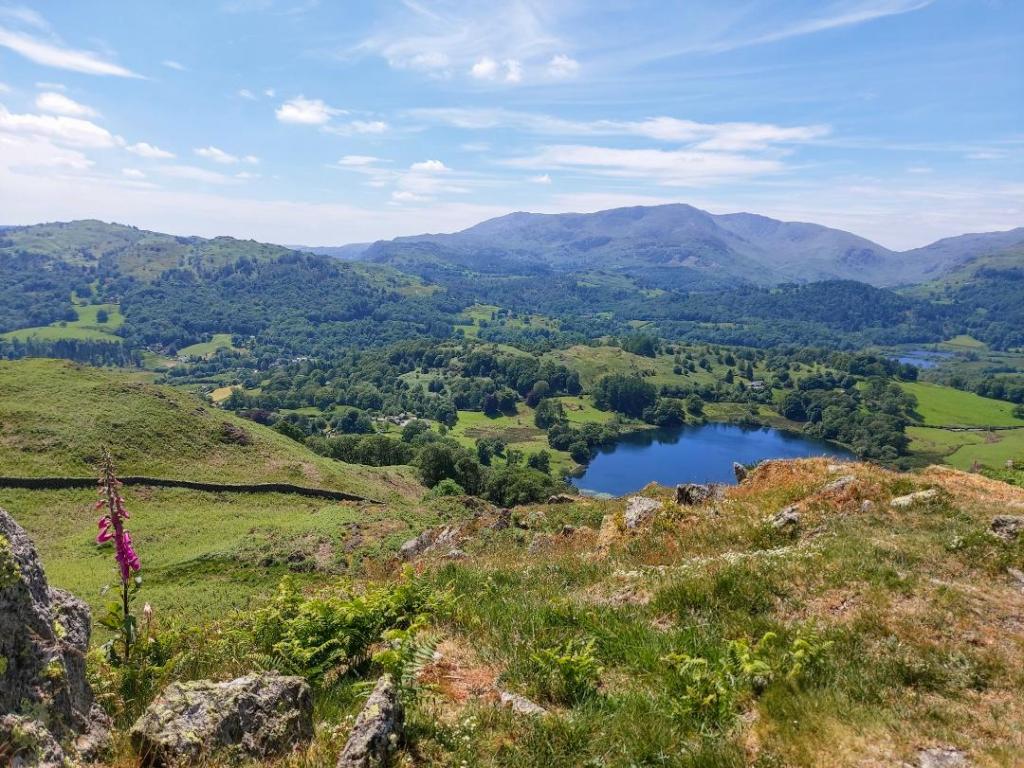
If you keep going up, you will eventually see the ‘Trig Point’ signalling the highest point on the Fell – as high as you can get on this walk. The views from the top span all the way from Windermere on one side, to Rydal Water on the other. The landscape is utterly stunning and I sat here for quite a long time just taking it all in.
5. The Descent
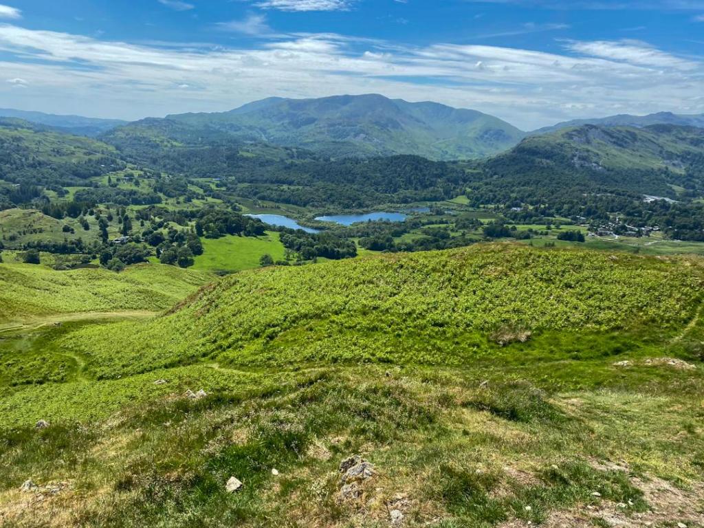
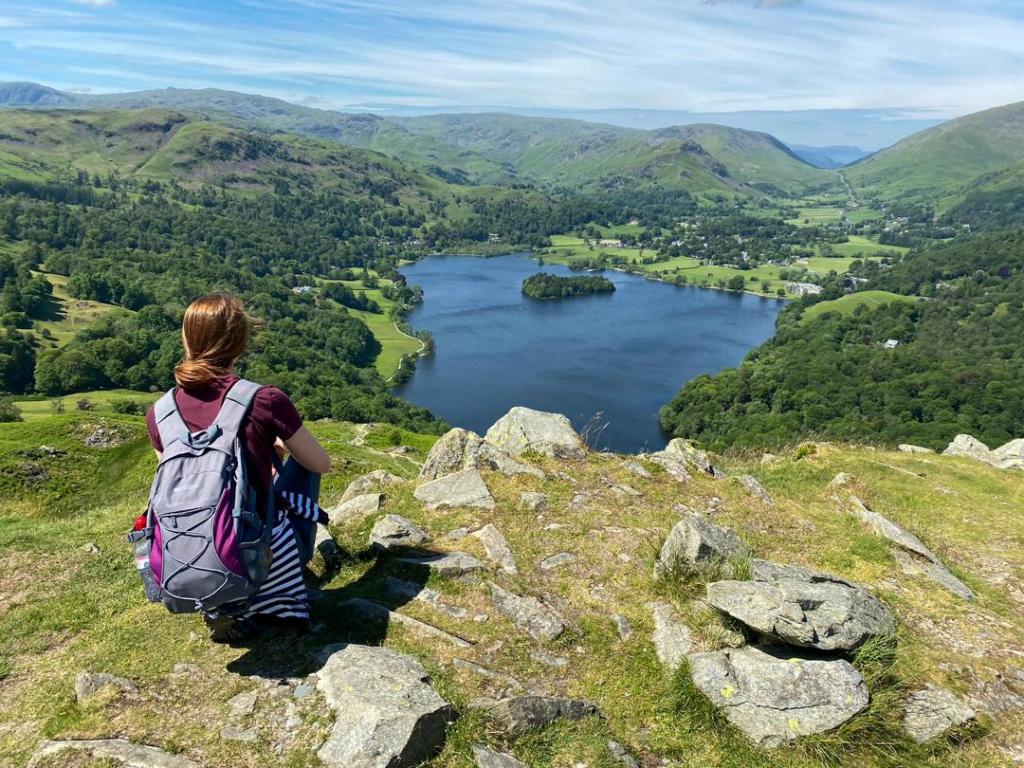
Descending from a summit can sometimes be harder than the climb up as it can really put pressure on the knees. I chose to descend on a different route to the one I came up, and headed towards the opposite side of the Fell (north east). Once you’re off the first few hundred metres of zig zag, there becomes just one path to descend on, with fabulous views out to Rydal Water. It’s quite rocky and at points again requires some hands to help climb down, but eventually it comes out on a clear path. It felt great to have completed the descent and get off the Fell!
6. Rydal Caves
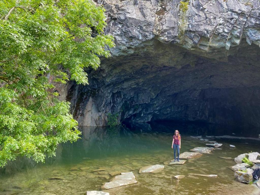
At the bottom, keep to the right and head down towards Rydal Water. Then again, when the path splits take another right as this curves back around and brings you out to an incredible cave which you can use the stepping stones to go deep in to.
7. The Return to Ambleside
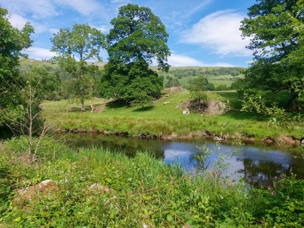
After the caves, continue following the path you were on, meandering down and following the footpath signs back to Ambleside. It’s another 2 miles from here along a clearly marked path following the river Rothay back to the start point.
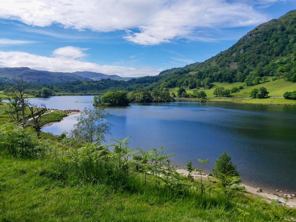
This walk was absolutely beautiful, but for only an ‘easy’ walk in the Lakes, it still required a moderate level of fitness and really steep ascents. I thoroughly enjoyed it, but dread to think what the ‘hard’ walks are like!
Thank you so much for reading – what do you think of Loughrigg Fell? Would you like to visit this area of England if you haven’t been already? Let me know in the comments below – stay safe and happy travelling everyone!

Leave a comment