Climbing down from the mountain, my body is screaming at me to collapse. My calves hurt descending, my hayfever means I can’t really see anything any more, my lungs ache, I need water, and I need food and……I’m immensely proud of myself. I left a bit of myself on Old Man Coniston, but it also left its mark on me.
Old Man Coniston is a mountain in the Lake District, England. It’s not the highest peak, that accolade goes to Scafell Pike. It’s actually the 14th highest peak at 2,600 feet. Many of the walking guides grade it ‘easy’ in comparison to some of the other walks in the area. It wasn’t easy. Far from it. It took me 5 hours of hard climb, tough descent and 15km of distance to make it up, round and down the Old Man. Here’s a guide of how to do it.
Important Hike Information
Location & Car Parking: The only place to start the hike is Coniston. You could choose to park in the town, but this adds around 3km to your walk – instead drive to the end of Walna Scar road and start the hike from there (unlike us!).
Hike distance and time: Going directly up and down will be around 6km and take around 2.5-3 hours depending on fitness. You can follow the route HERE. We chose to take in more of the peaks all around though and did the 15km route HERE (in reverse, by accident). That website says it’s only 10km, but it was significantly longer per the Apple watch.
Terrain: The terrain starts on a slope so you have to be comfortable on steep ascents. On the path up there are a few points of scrambling (photos below), where you have to use your hands to get up the rocks, but nothing too scary. The descent is similar, having to climb down some quite steep rocks. Overall, the walk is graded as a ‘3/5’ in terms of difficulty. The path is well marked, so it’s the distance and amount of time spent climbing that make it hard.
Alternatives: If you don’t want any scrambling, another lovely walk in the area is Tarn Hows. If a moderate walk isn’t challenging enough for you, then you could try the difficult Coniston to Wetherlam.
The Hike Route
We followed the route HERE, but did it in reverse by accident as we went wrong at the beginning; but were so glad we did as the ascent was so steep we’d rather climb up than come down scrambling.
A. The Ascent to Low Water
If you’ve parked in Coniston like us, it’s a 1.5km steep climb up a tarmac road called Walna Scar. We climbed this road, got to the end and realised there’s a car park there. So honestly save your legs and start from Walna Scar car park.
From the car park turn left as you face the entrance gate (from within the carpark) following the sign ‘Old Man Coniston’. This will take you up on a fairly forgiving gradient to start with, slowly turning steeper as you wind through the remnants of the old mines here.
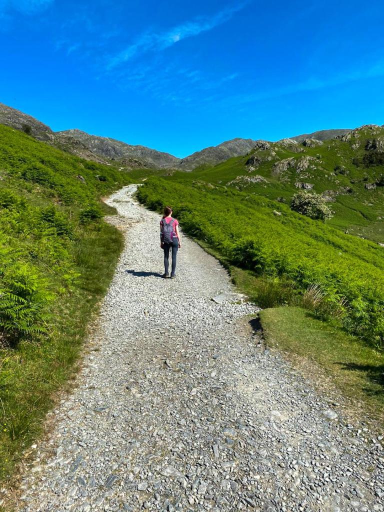
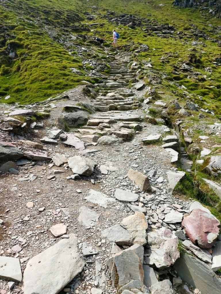
The incline starts to burn and the path becomes a bit more rocky, requiring some competent climb skills. You can take it at a slow pace though; we had lots of gazelle like people whipping past us and one crazy lunatic running up.
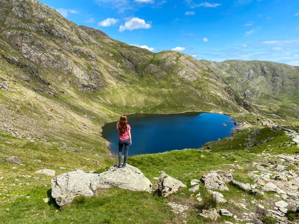
About half way up the ascent you will reach the beautiful Low Water. It’s a great chance to pause and relax by the water – but please bear in mind you have a LONG way to go on this walk so don’t want to spend too long there.
B. The Ascent to Old Man Coniston
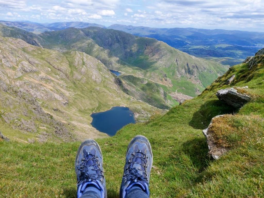
From Low Water, the climb is pretty much vertical to the summit of Old Man Coniston. In total it will take around 30 minutes to 1 hour depending on fitness. There are areas of just grass and rock with no path where you have to scramble up a bit.
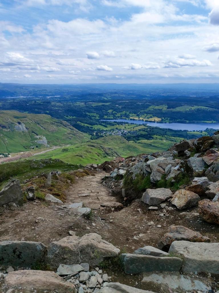

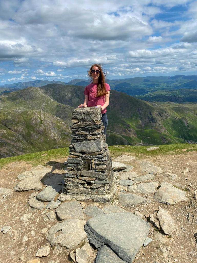
The views from the top of the mountain are incredible – you can see down to Low Water, as well as out to Lake Coniston and beyond. On a clear day you can see Blackpool Tower and the Isle of Man!

C. The Walk to Dow Crag
From the summit of Old Man, go across the ridge in the opposite direction from which you arrived. Where the path forks down (you can see it in the photo below), take that to the left and drop down towards Goat’s water – at this point if it’s too much you can continue down to Goat’s water and back down to the car park. Otherwise, continue back up again on the same path upwards (again as per the photo below) to Dow Crag and along the ridge until you reach the peak.


D. Buck and Brown Pike
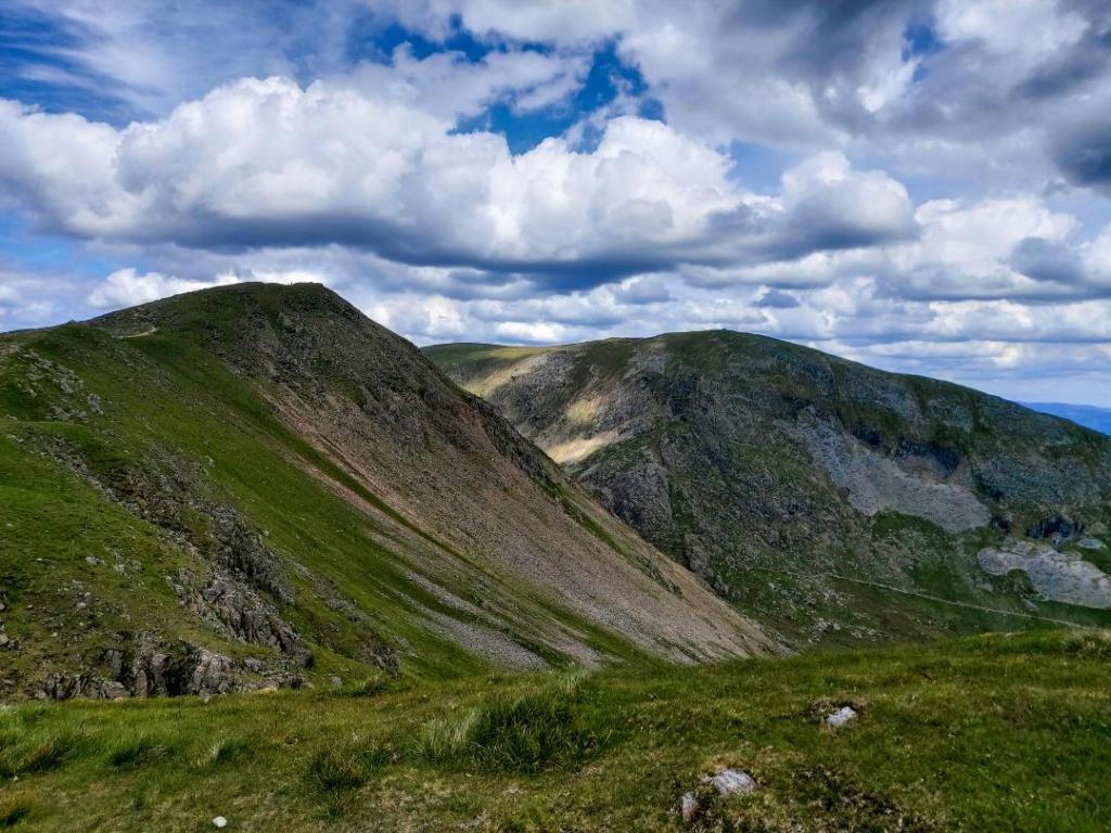
Passing Dow Crag, follow the ridge until you hit Buck Pike, then Brown Pike. The views here are incredible down to Lake Coniston, Blind Tarn and back to Old Man. It’s amazing standing there to think you were once all the way over the other side!
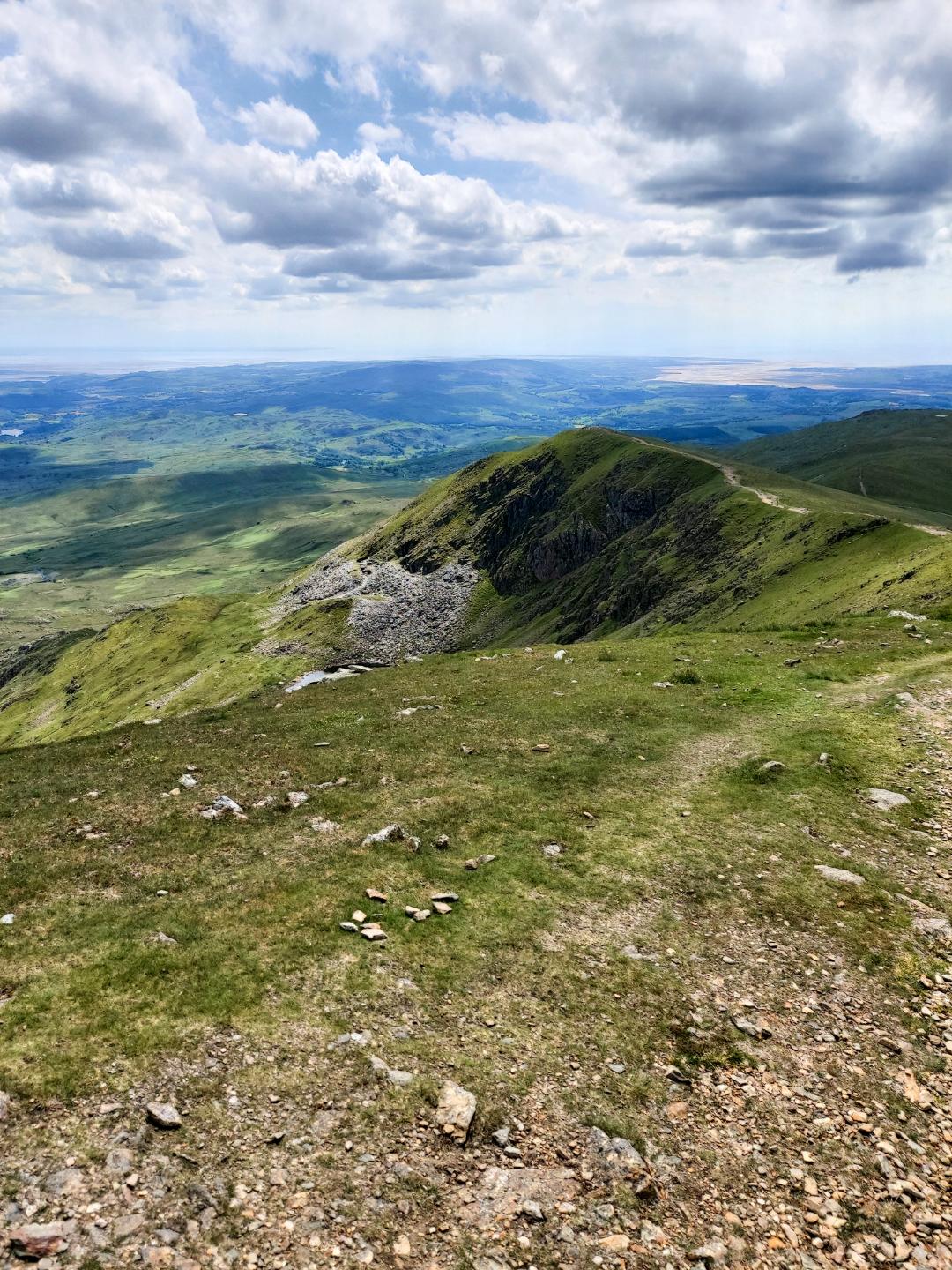
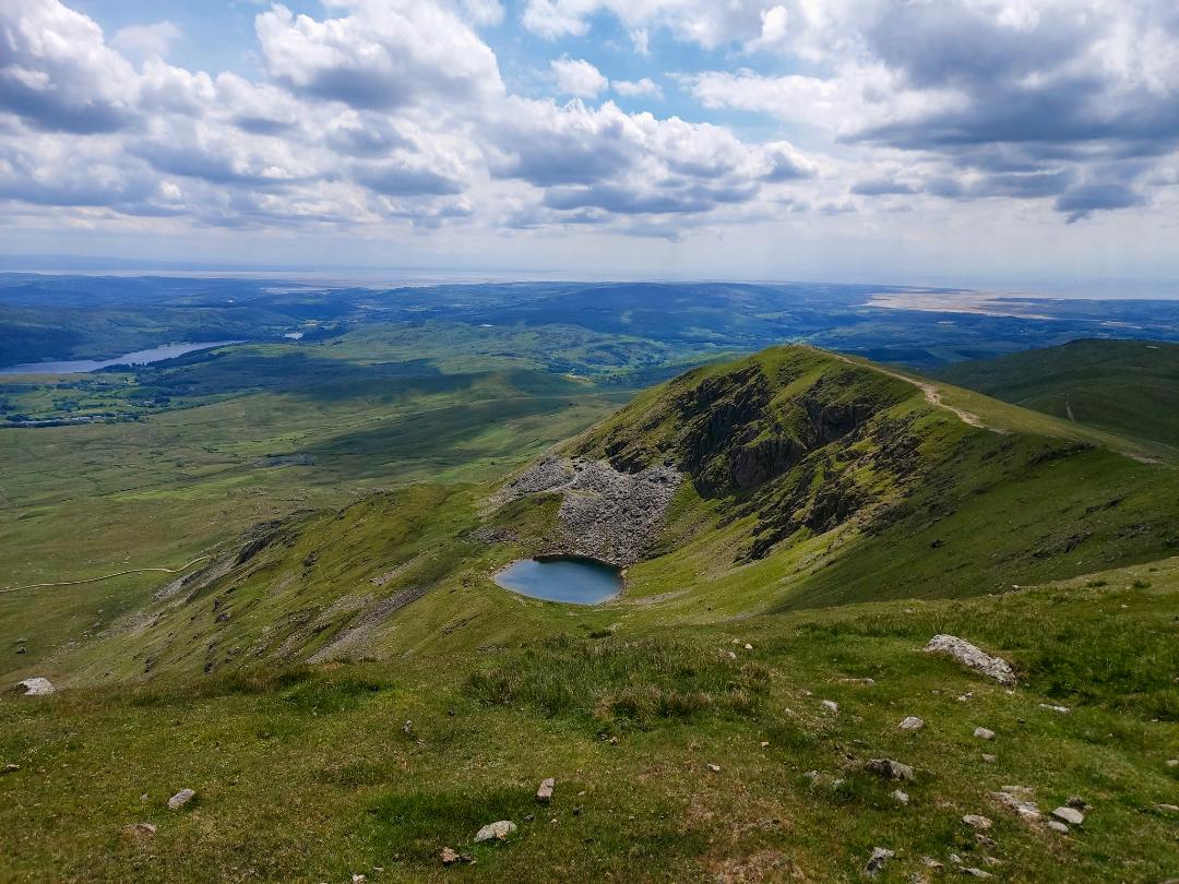
Views from Dow Crag across to Buck Pike (L) and then on to Brown Pike with a view of Blind Tarn (R)
E. The Descent
After brown pike, it’s all downhill. You’ll reach a cross roads where you head left and down. Unfortunately this path is still 1 hour from the car park but is all downhill and with no real difficulties (other than the fact you have 12-15km in your legs). Follow the winding path all the way back to the car park and get an ice-cream from the van before collapsing.

And that’s it for the Old Man Coniston walk. I’m so proud to have achieved it, but also amazed at how others run it, do harder walks or do it in a few hours. I’m reasonably fit and walk decent distances almost every week and I was exhausted so please don’t embark on this thinking it’s easy. What do you think of the walk? Stay safe and happy travelling all!
Leave a comment